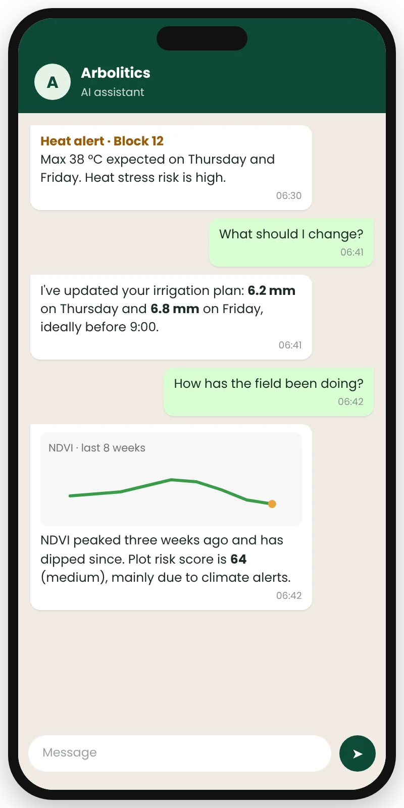
PlanetScope image processing, irrigation planning and risk scoring, delivered through one API, so your team ships features instead of building remote-sensing pipelines.
Near-daily, high-resolution PlanetScope imagery processed into ready-to-use vegetation indices (EVI, GCI, LAI, NDVI, NDRE, SAVI, NDWI), automatic field boundary detection, a canopy uniformity index and vegetation anomaly detection.
Irrigation planning API
7-day irrigation recommendations, updated daily, in millimetres and hours. Calibrated using NDVI-adjusted crop coefficients, daily and forecast evapotranspiration, soil properties and irrigation system characteristics.
Risk scoring API
Plot-level risk scores built from 8 indicators: vegetation uniformity, anomaly index, historical climate alerts, historical water demand, water balance dynamics, soil suitability, land and soil use, and climate change.