Production problem detection
Vegetation anomaly and crop-specific climate alerts in real-time.
Start monitoring
Trusted by leading growers worldwide

High resolution
3 m × 3 m per-pixel imagery powered by Planet Labs for actionable, field-level insights.
Near-daily updates
Almost daily satellite passes ensure fresh, consistent data.
All crops, any region
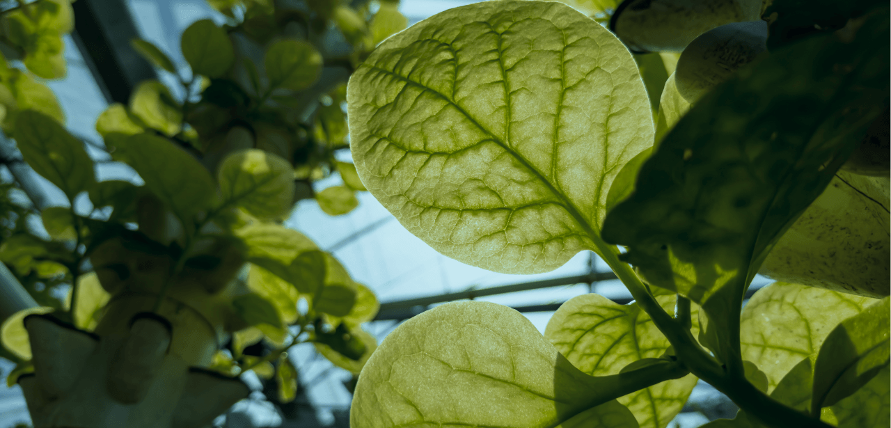
Compatible with cereals, orchards, vineyards, vegetables, pastures, and more.
Best and flexible pricing
High end images, data and automations at lowest cost. No minimum purchase — scale coverage when you're ready.
Crop-specific alerts
Stay ahead of risks with tailored climate and vegetation anomaly alerts.
Uniformity index
Track field consistency at a glance with our easy-to-interpret Uniformity Index.
Contact us
Ready to transform your farmland risk analysis approach? Contact us today and try the demo!
Our Location
Gerichtstraße 23, 13347, Berlin, Germany